SOEE2650 assessment 2 Storm surge
GIS for Geoscientists
Introduction
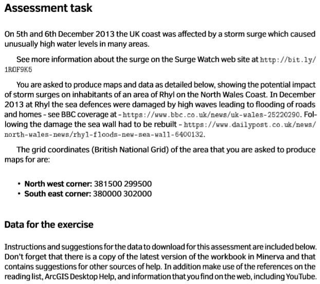
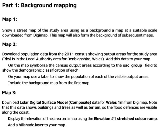
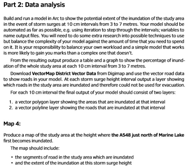
This assessment asks for a series of maps and some data which are combined in the form of a brief report on potential flooding on the North Wales coast.
What are we assessing?
- That you can download the appropriate data and prepare it to display on a series of maps
- That you can carry out more advanced analysis tasks and link them together to produce new outputs
- That you show an understanding of the techniques in the workbook and that you can go beyond those using the suggested sources of help
- That you can use GIS layout tools to present your data on a series of maps in a professional manner


